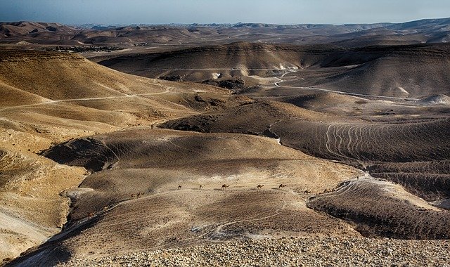
In every biblical studies course that I teach, I try to make sure that the role of the Bible atlas makes its way forward at some point. I consider a good Bible atlas to be an indispensable resource for anyone who studies the Bible. There are many high-quality, relatively inexpensive atlases out there in easy reach. If you are traveling to the Holy Land with us, interested in making a trip there in the future, or simply want to explore the importance of the land and its geography to the biblical story, you should have a Bible atlas and know how to use it.
A good Bible atlas brings several disciplines together, including geography, biblical studies, history, and archaeology. It is more than mere cartography or satellite imagery. Sites on maps must be properly identified, understood, and located. Some site identifications and locations are uncertain or challenged. Archaeological results that inform these discussions are updated as new discoveries are made and new work is published. History and geography come together in what we call “historical geography” to show the relationship between land and story. This includes not only where events happened but also the significance of the terrain, travel routes, watersheds, and other features of the physical space that interact with and help to shape the story. Of course, the ability to work with the biblical text is necessary so that the primary source behind all of this is properly understood and interpreted. Many fields intersect to bring us a good Bible atlas.
An atlas consists of two main parts: the map images and the commentary that explains the biblical text as it relates to the geography. Both are equally important, and both should be high quality. They are to be used together, and the best ones are organized well so that this is simple to do. When looking for an atlas, consider both of these features. Some volumes also come with digital resources or access to maps online when you purchase. I make frequent use of the digital maps that come with The Satellite Bible Atlas (see below).
When you study a Bible passage, think about the physical spaces involved: Is there mention of specific locales where events took place, or regions, landscapes, or travel routes that are features of the story? Or how about even mentions of geography in poetry where the use is figurative (like Mt. Carmel in Song of Songs 7:5)? You will understand the text better if you understand where those references are and what they mean.
For starters, here are a few favorites of mine to consider if you are ready to add to your Bible study resources and want some ideas:
- William Schlegel, Satellite Bible Atlas: Historical Geography of the Bible. Israel, 2012.
- John D. Currid, and David P. Barrett, The Crossway ESV Bible Atlas. Wheaton, IL: Crossway, 2010.
- Barry J. Beitzel, The New Moody Atlas of the Bible. Chicago: Moody, 2009.
- Carl G. Rasmussen. Zondervan Essential Atlas of the Bible. Grand Rapids, MI: Zondervan, 2013.
There are many more that are worth a look, too. John A. (Jack) Beck is a favorite expert of mine in Bible and geography, as well as an outstanding tour guide and teacher in the Holy Land. He is the author of The Basic Bible Atlas, which will be released by Baker Books on February 18, 2020. I am looking forward to picking this one up and will say something about it here on the blog when I have had a chance to work with it.
Find a Bible atlas to help you make these essential connections in your study. Let us know what your favorites are!


